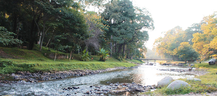
Mae Ta Krai Covering an area of Chiang Mai and Lamphun. The total area of approximately 1229.8 square kilometers or 768,625 acres. Topography is generally mountainous with a height ranging from 400-1947 meters above sea level. Split into two parts: The park's grass Doi Saket. There are only lodges, tents, restaurant, and a clear river. In the rainy season, you can float in the river by a rubber ring.
Travel
From the city of Chiang Mai to the national park, followed by the Chiang Mai - Doi Saket road about 33-34 kilometers. But if you want to go to The Chiang Mai Visitor Center you can follow by Chiang Mai - San Kamphaeng road and then turn to a branch of Mae-On district. The distance about 50 kilometers, look at the signposted entrance to the Mae Ta Krai national park. Visiting throughout the year especially the winter is the most beautiful. More Information - park.dnp.go.th/visitor/nationparkshow.php?PTA_CODE=9101
Necessary cookies are required to help a website usable by enabling core functions and access to secure areas of the website. The website cannot be function properly without these cookies and they are enabled by default and cannot be disabled.
Analytics cookies help website to understand how visitors interact through the website. These cookies help to improve user experiences by collecting and reporting information.
Marketing cookies are used to track visitors across websites to display relevant advertisements for the individual user and thereby more valuable for publishers and third party advertisers.


 06-4001-0014
 contact@dutchfarm2u.com